Eight-Story Apartment Building Planned for Rogers Avenue in East Flatbush
Yet another East Flatbush townhouse will meet the wrecking ball for an apartment building, and this time it’s an eight-story development at 733 Rogers Avenue, between Lenox Road and Linden Boulevard. The project will have 16 apartments spread across 15,045 square feet of space, as well as a roof deck, according to plans filed last week. The…
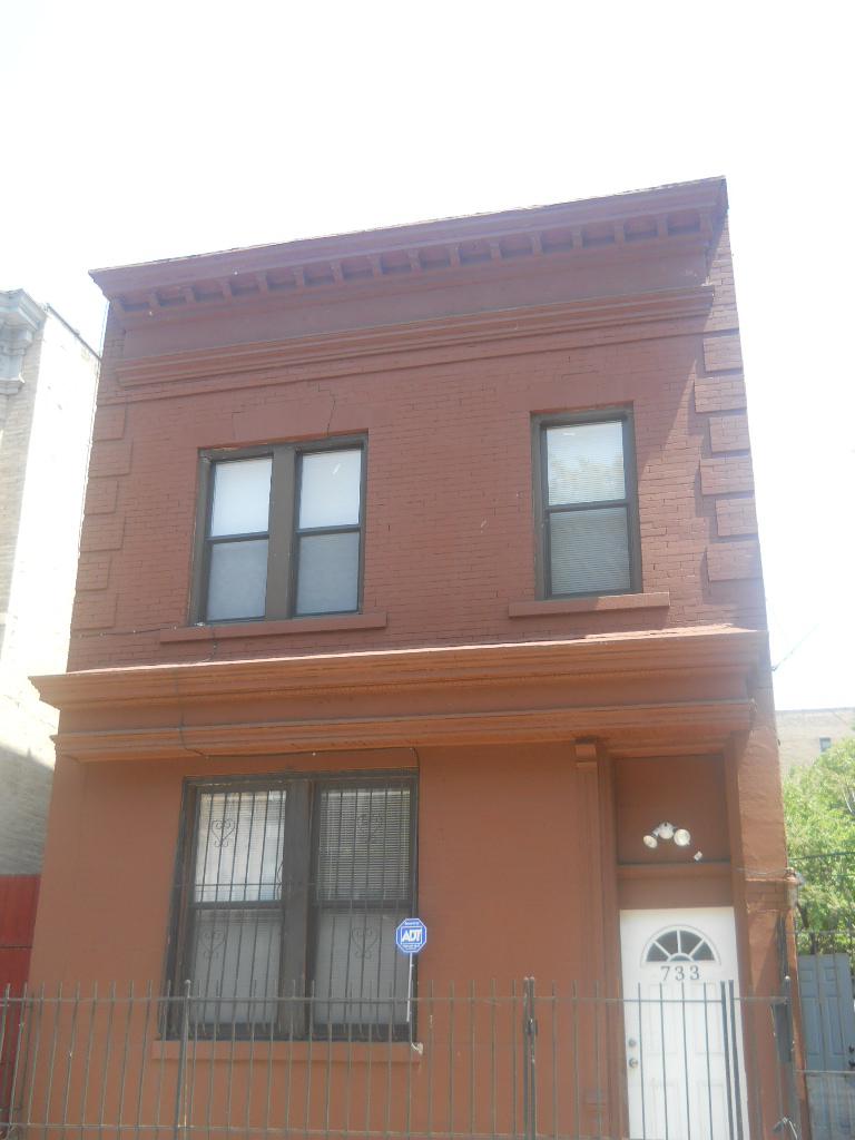

Yet another East Flatbush townhouse will meet the wrecking ball for an apartment building, and this time it’s an eight-story development at 733 Rogers Avenue, between Lenox Road and Linden Boulevard. The project will have 16 apartments spread across 15,045 square feet of space, as well as a roof deck, according to plans filed last week.
The architect of record is Willy Zambrano, and Palladium Equities will develop the building. The 138-foot-deep lot is currently home to a two-story house, which sold for $1,200,000 in December. Demolition applications have been filed for the recently renovated home, but the DOB hasn’t approved them yet. GMAP
Photo by Vladimir Khaimov for PropertyShark



I still contend that this is not East Flatbush.
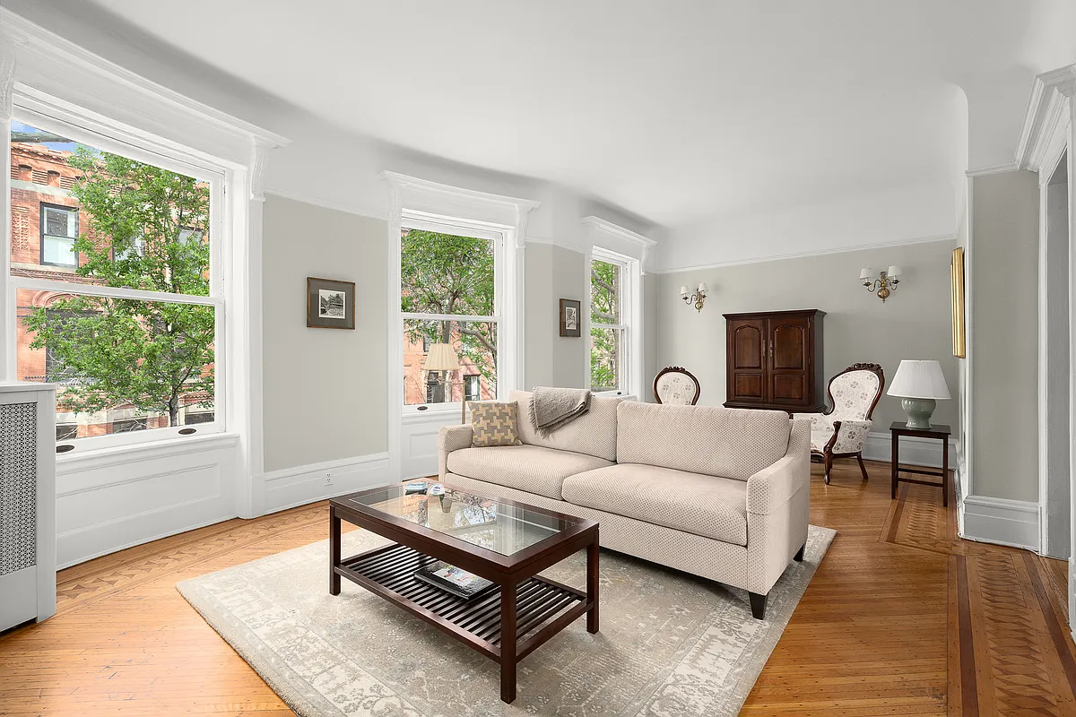
Interesting little building – I’m not convinced that it was originally a townhouse. Maybe a commercial space with an apartment above? Looks like the flippers went through the trouble of renovating it, only to have all this torn down. http://www.corcoran.com/nyc/Listings/Display/2249421
Went for a walk around Lenox and New York Ave this morning; saw “Development Site for Sale” signs everywhere.
It’s no joke how fast the developers are moving on Flatbush. I see filings at least twice a week for buildings that are going to be torn down. I wasn’t paying as much attention when they were flipping bedstuy in ’05, but I don’t remember it being quite like this. Perhaps some of that has to do with historical zoning? In the last two weeks alone there have been over half a dozen filings for teardowns.
OK, I have 5 minutes to spare, let’s look at this.
Eastern boundary of Flatbush/Western boundary of East Flatbush below Clarkson:
Streeteasy: New York Ave
Trulia: Rogers
Zillow: New York Ave
Wikipedia: Flatbush Ave
Google maps: rogers ave
City Data: E 31st
The idea that you would use the historical name for Flatbush, and refer to the neighborhood all the way to Coney Island Ave, makes no sense. Everybody has accepted the term Ditmas Park.
If you want to talk Prospect Park South, fine, but going back to the old micro-neighborhoods of Flatbush creates all kinds of weird problems.
Didn’t historical Flatbush go even further west, to modern day Kensington, so that would be Flatbush also? And while we are discussing that, the free standing wood frames of Kensington are also “Victorian”, are they not?
What are the grand Victorians north of Church Ave supposed to be called? What about 123 Parkside? If Flatbush ends at Flatbush ave, why is the post office and the library east of that? If East Flatbush starts at Flatbush, or even Rogers, then does it extend for 3 miles east of there? Is Erasmus High and the Kings Theater really in East Flatbush? Why is Rogers the dividing line instead of Nostrand, which has a subway running down it, and is a busier, more commercial street?
Yes, semantics, arcana. But if we are going to read about all this development day after day, might as well avoid confusion.
forgot to include the link: http://www.brooklynhistory.org/exhibitions/lefferts/wp-content/uploads/2011/11/ba_1873a.Fl_1.jpg
Flatbush goes until AT LEAST Nostrand, yes, including south of PLG. whether it goes beyond that is up to someone else. wiki would be wrong
Cate, please see this map. boundaries change over time but you can’t exclude the original flatbush from the current flatbush.
http://www.city-data.com/neighborhood/Flatbush-Brooklyn-NY.html
City data uses census data for their information. I think any type of govt body overrules public opinion.