The Palisade at the End of the L Train: How Canarsie Got Its Name
Brownstoner takes on Brooklyn history in Nabe Names, a series of briefs on the origins and surprising stories of neighborhood nomenclature. Deep within the alphabetized grid that characterizes Brooklyn’s southern residential realms, Canarsie is still steeped in the awnings and accents of another era in the borough’s history. The last stop on the L train,…
Brownstoner takes on Brooklyn history in Nabe Names, a series of briefs on the origins and surprising stories of neighborhood nomenclature.
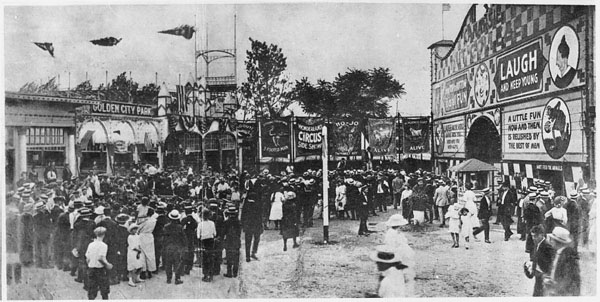
Deep within the alphabetized grid that characterizes Brooklyn’s southern residential realms, Canarsie is still steeped in the awnings and accents of another era in the borough’s history.
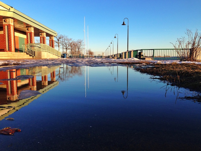
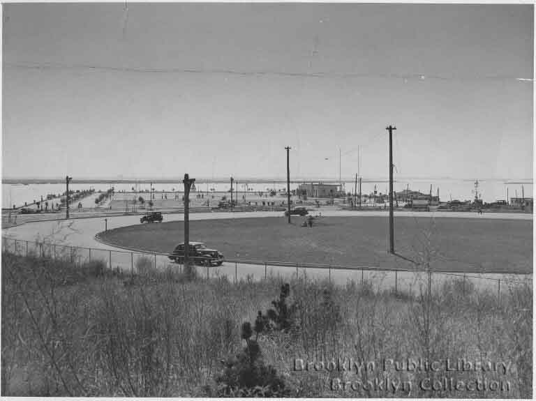
The last stop on the L train, Canarsie is bounded by the Fresh Creek Basin, Paerdegat Basin and Jamaica Bay, bodies of water likely even less familiar to many than the area’s namesake: a term originating in the Algonquin language, in which it means “palisade” or sometimes “fenced land.”
Canarsie, which was initially a part of the original Brooklyn town Flatlands (now a far smaller, adjacent neighborhood), was once populated by the Canarsee Indians, who resided across Western Long Island for generations.
Today the neighborhood’s offerings are largely residential, but for any borough dweller who lives closer to the action, Canarsie’s streets can certainly provide a quieter solitude within city limits.
Related Stories
This Sears Mail-Order Home Cost $1,652, Was Shipped to Canarsie on a Buggy
Walkabout: An Incident on the Road From Bergen Island
Times Finds Value, Community in Canarsie
Email tips@brownstoner.com with further comments, questions or tips. Follow Brownstoner on Twitter and Instagram, and like us on Facebook.
[sc:daily-email-signup ]



Not to nitpik, but you forgot the ‘U’. It’s Algonquian.